
Bummer Creek is located in the Alsea River watershed, and has been the target of numerous restoration projects since 2016. It was identified in an OWEB-funded Limiting Factors Analysis (LFA) as temperature and gravel limited. To address these issues, riparian planting, livestock exclusion fencing, culvert replacements and instream large woody debris placements have been implemented on a suite of 8 cooperating small private landowners within the basin.

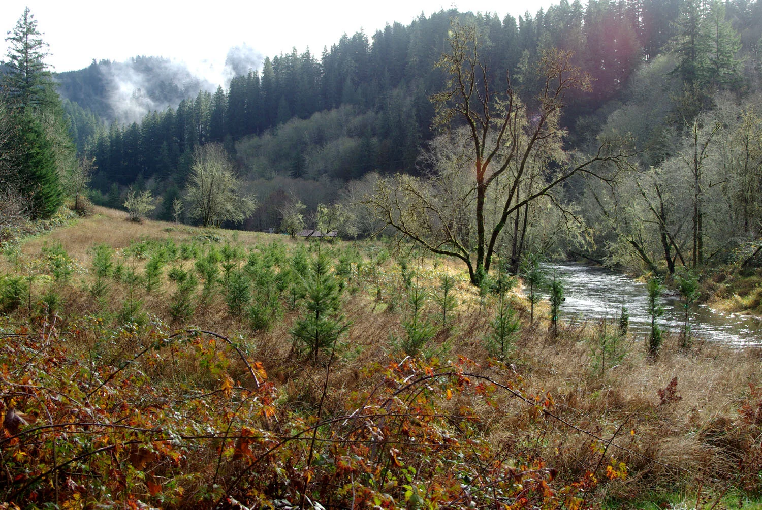
Riparian plantings in protective cages with livestock fencing in background.
The LFA also classified the lower mainstem as highly incised and limited by reduced linkage to historical off channel rearing habitats. Both the USFWS and the MCWC have been instrumental in the development of salmonid accessible off channel wetland habitat in partnerships on the Parker property as part of this larger basin scale effort. LiDAR analysis has revealed the presence of 1.5 miles of diked and inaccessible oxbow habitat.

Map of channel alterations, wetland creation, and fencing on Bummer Creek.
We extended riparian fencing and planting downstream on Bummer Creek to the next 2 adjacent private land parcels (140 acres combined), reconfigured the wetland outlet to exit through its historical channel, and developed additional wetland habitats to store and retain winter runoff to address the summer temperature limitation in mainstem Bummer Creek.
This is a private landowner partnership with in-kind match contributed from Environmental Quality Incentives Program (EQUIP) and Conservation Reserve Enhancement Program (CREP). Funds supported the creation of approximately 1500 feet of livestock exclusion fencing on the Jackson property, putting 7.7 acres of land into riparian reserve in 2018.
