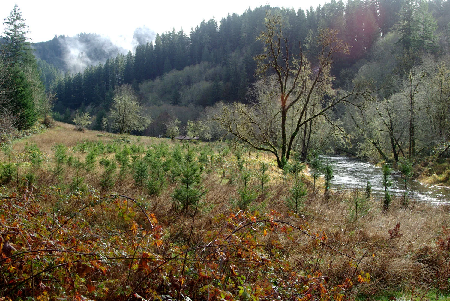
The first restoration project under the FIP occurred in summer 2024, at The Wetland Conservancy’s Starr Creek Preserve, located along Alsea Bay. Starr Creek was once tide-gated and altered for agriculture, cutting it off from natural tidal flow and degrading habitat. Since acquiring the property in 2008, The Wetlands Conservancy has been working to restore its natural complexity with the help of restoration partners like MidCoast Watersheds Council.

Evan Hayduk, Executive Director of MCWC, guides logs places into Starr Creek.
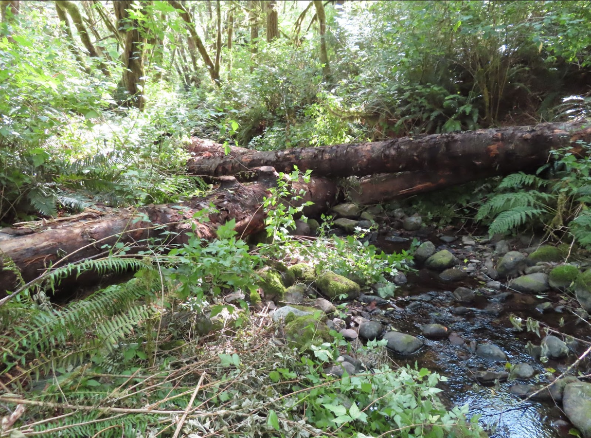
Restoration actions included removal of invasive plants, secure placement of large woody debris both instream and throughout the floodplain, and seeding/planting of native vegetation at appropriate elevations to restore tidal marsh, scrub/shrub, and spruce swamp habitats. These actions will improve tidal wetland habitat for coho and Chinook salmon, steelhead, and other fish and wildlife species, while also helping add resilience to climate change and sea level rise. More than 90% of forested tidal swamps have been lost from Oregon estuaries. Wood placed throughout this site will provide essential cover for fish and invertebrate species, protection from currents, and foraging opportunities, while also creating nurse logs and elevated platforms to support the growth of Stika spruce, Pacific crabapple, willow, and other scrub/shrub species. Logs placed instream will help collect sediment, slow and spread water over the floodplain, and could even encourage beaver to return to this site, coupled with establishment of enough native plants to support them.

Estuaries like Starr Creek play a critical role in the salmon lifecycle, providing young fish with rich foraging opportunities and protective cover before they enter the ocean. Restoration efforts included removing invasive plants, placing large wood structures to create rearing habitat, and planting native vegetation to rebuild tidal marsh, scrub-shrub, and spruce swamp ecosystems.
More than 90% of Oregon’s forested tidal swamps have been lost, but projects like this are bringing them back—providing benefits not only for fish and wildlife but also for climate resilience and water quality.