Estuary

Pixieland/Tamara Quays

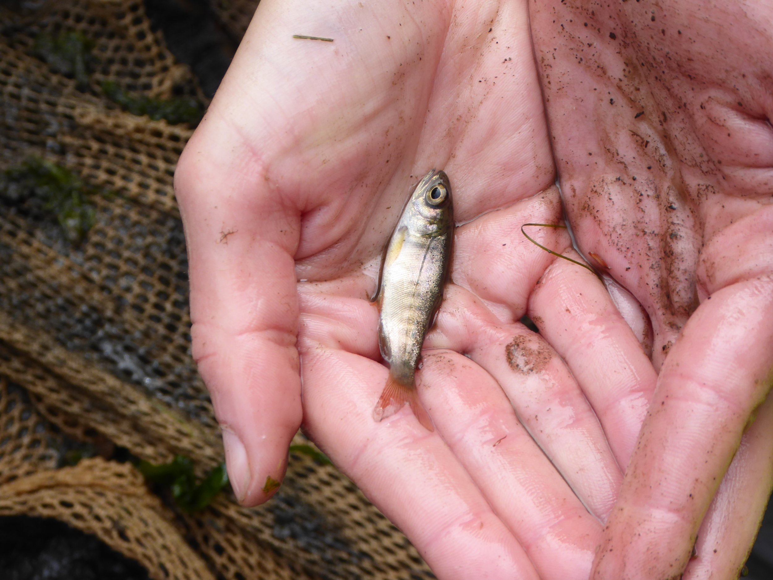
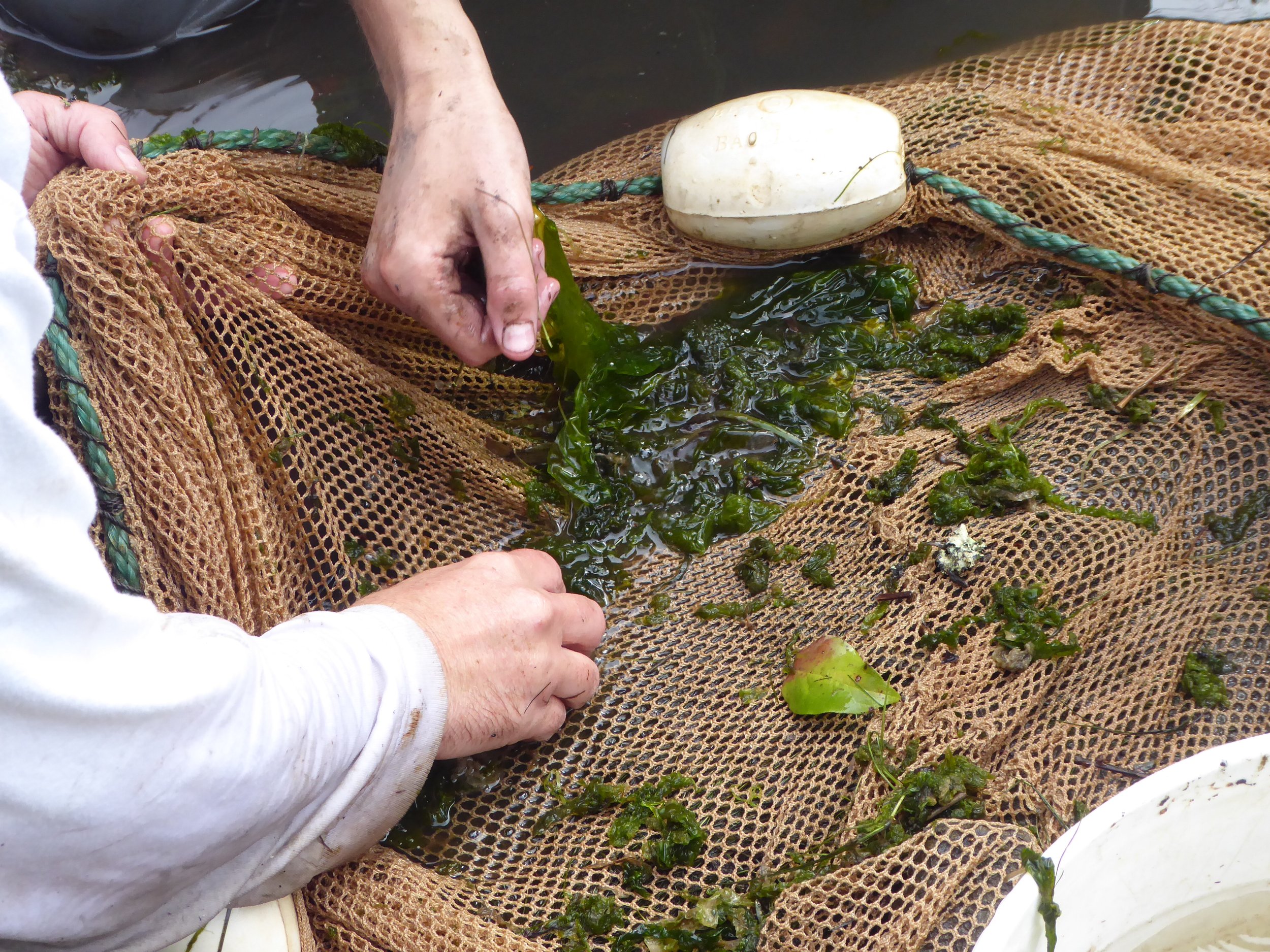
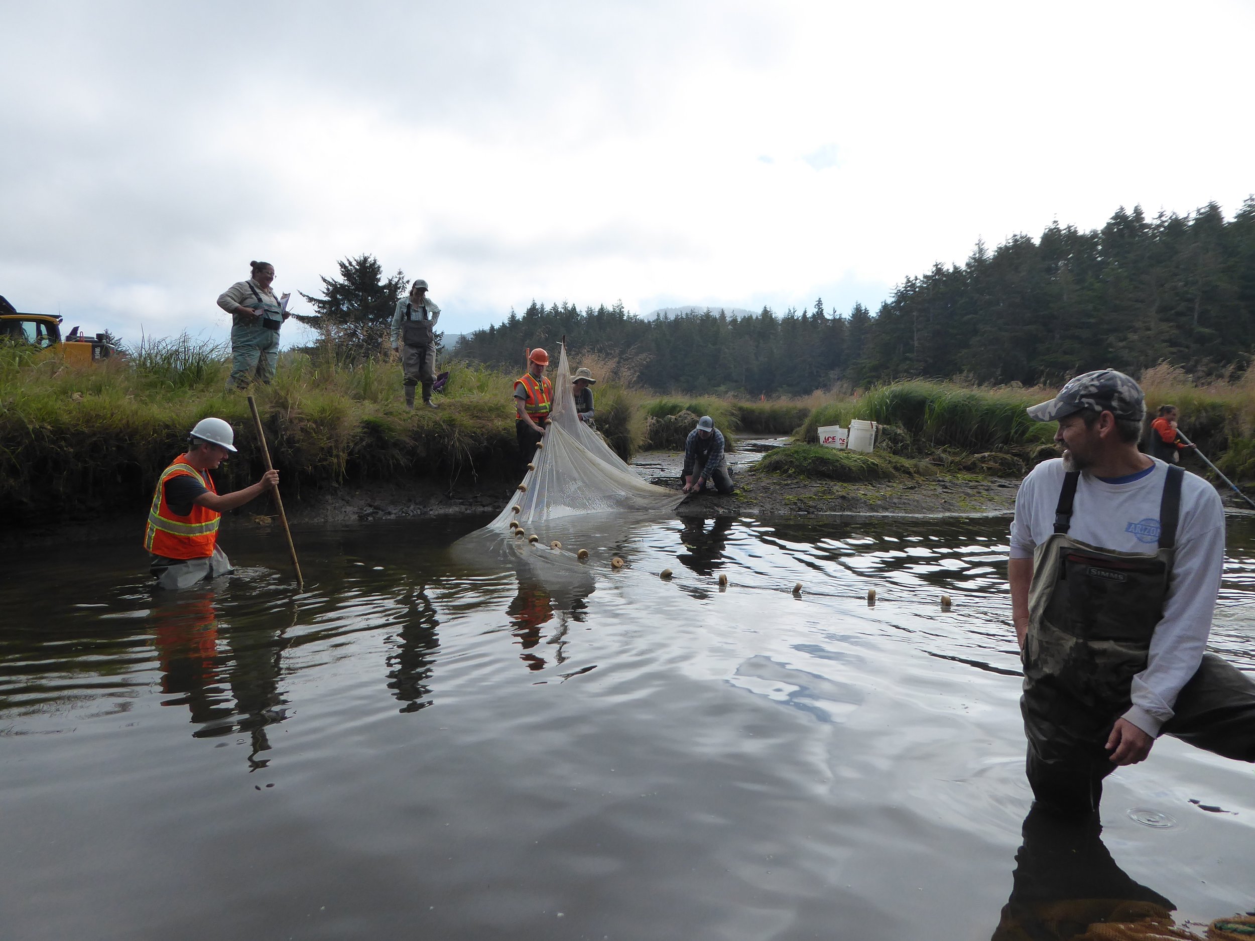
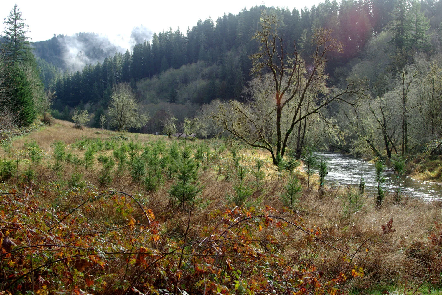
Pixieland and Tamara Quays are areas where human influence has significantly altered natural ecosystem processes and vegetation. Both sites are now under ownership of the Siuslaw National Forest and have been managed with restoration as a primary goal. Years of restoration work and monitoring by the Salmon Drift Creek Watershed Council, now integrated into MCWC, and the U.S. Forest Services have removed invasive vegetation and promoted native plant growth, restored hydrology via reconnected tidal channels, and restored ecosystem processes in these historic estuary habitats.


To learn more about this series of projects, check out the project summaries below:

Project partners include USFS Siuslaw National Forest, Oregon Department of State Lands, ODOT, and USFWS.


Lower Drift Estuary

Regrowing lost habitats

Drift Creek flows into the Siletz Bay just south of Lincoln City, where it forms a beautiful estuary habitat. The area is now part of the Siletz Bay National Wildlife Refuge, but the habitat has been severely degraded in the last 150 years. Several partners are restoring the wetland’s natural functions by removing tidal flow restrictions, digging new channels for the tides to flow through, and promoting native plants.


The Lower Drift project aims to restore roughly 40 acres of tidal wetlands in 2023 through the removal of dikes, restructuring and connecting of tidal channels, creating small mounds and planting native species, placement of large woody debris (LWD), and controlling invasive species. An additional 40 acres will be restored in 2024. These restoration efforts added to 86 acres of previously restored wetlands within Siletz Bay National Wildlife Refuge.

The value of estuaries’ ecosystem functions have not been prioritized in recent history. Instead, Oregon’s tidal wetlands have been diked, ditched, developed, or grazed to the point that the area of Oregon’s tidal wetlands has declined by an average of about 60%.

Once a common habitat along the Oregon Coast, forested swamps have declined by an average of roughly 95%. New research shows that forested swamps provide important ecosystem services such as shelter and foraging grounds for salmonids, multi-layered wildlife habitat and stream shading, and high levels of carbon storage in the soil. 

  • Wetlands are areas where water covers the soil, or remains close to the surface all or most of the year. Both marshes and swamps are types of wetlands. Marshes are wetlands that are dominated by soft-stemmed plants such as grasses. Swamps are wetlands that are dominated by woody plants such as trees or shrubs.

A forested tidal swamp (Photo by Laura Brophy)

In addition to directly supporting the preservation of estuary wildlife, the Lower Drift project plays a part in strengthening Oregon’s coastal climate change resiliency. Estuaries have a built-in system to adapt to rising sea levels. As sediment flows into the estuaries from the tides and river, it collects in vegetation and increases the elevation of the wetlands. Estuaries are also “blue carbon” ecosystems (such as mangrove forests and seagrass beds) which are even more efficient at storing carbon from the atmosphere than tropical forests!

How?

  • Improving topographic diversity higher elevation spots for spruce and native shrubs are present.

    Placing LWD to create potential nurse logs.

    Planting of spruce and native shrubs and managing invasive species. 

  • Removing tidal flow barriers such as old dikes, culverts, and riprap to allow for natural deposition of sediment.

    Placing of LWD to aid in catching of sediment.

    Creating elevation gradient to promote sediment deposition.

  • Increasing tidal channel connectivity through channel shaping and removal of tidal flow barriers.

    Placing of LWD to create shelter for aquatic species and coastal birds alike.

    Planting of native plants.


The first phase of the Lower Drift restoration began the summer of 2023 when stream diversion and fish salvage took place in July prior to the restructuring of tidal channels using large machinery. During fish salvage, species such as shiner perch, greenling, rockfish, gunnel, stickleback, and Coho salmon were successfully salvaged from the active work area and safely moved to habitat downstream. 


Project partners include US Fish and Wildlife Service, Oregon Coast National Wildlife Refuge Complex, US Forest Service, Bureau of Land Management, private landowners, the Lincoln Soil and Water Conservation District, the Wild Salmon Center, National Oceanic and Atmospheric Administration, and the Confederated Tribes of the Siletz Indians.


To learn more check out these resources:


Yaquina Estuary (Y27)

Reconnecting Tidal Marshes

The tide has large influence on rivers, even miles upstream of the ocean. High tides create temporary aquatic habitats that are extremely important to juvenile salmon and other fish.

Across the Yaquina River from Elk City Road near Cannon Quarry Boat Launch, MCWC and partners improved habitat for coho, chum and Chinook salmon by restoring the tidal marsh known as “Y27”.

Map of the Y27 working area

Y27 at high tide

Y27 at low tide

Contractors removed sections of the failing dike and filled artificial drainage ditches to encourage water to use reconnected natural channels and newly dug channels. We protected spruce trees from a 2001 restoration planting project.

Our crew planted the entire site with spruce and other wetland species and will tend to them over several years to establish forested tidal wetland habitat and control invasive species. Trees and root wads were placed into the channels to immediately provide cover for fish.

As tides carve the channels we started and form new ones, the river will deposit its sediment and actually raise the elevation of the area over time. The new sediment and vegetation will increase the areas resiliency to flooding and sea level rise. This project is informed by the history of restoration on this parcel and estuary science from around the coast.

Funding for this work was received from the Oregon Watershed Enhancement Board, the US Fish and Wildlife Service Fish Passage Program, with additional support from the Pacific Marine and Estuarine Fish Habitat Partnership and the Oregon Wildlife Foundation. Project partners include the City of Toledo, the Confederated Tribes of Siletz Indians, the Wetlands Conservancy, Pacific States Marine Fisheries Commission, Oregon Department of Fish and Wildlife and US Fish and Wildlife Service Partners for Fish and Wildlife.


News articles about this project